Connecting PASDA's Map Services to ArcGIS Online
In this tutorial, you will learn how to connect PASDA's Map Services to ArcGIS online.
-
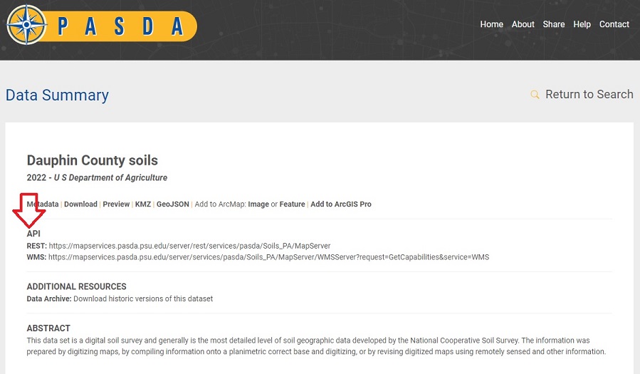
Step 1. Search PASDA for the data you want to add to ArcGIS Online. Click on the title of your dataset to see the Data Summary page. On this page will be a Link to the Rest page.
-
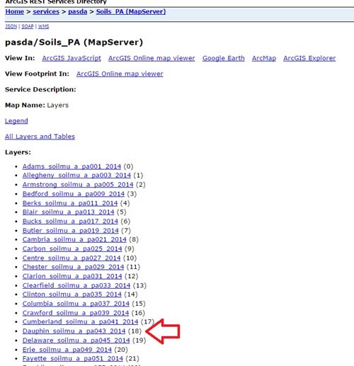
Step 2. When you click on this link you will see the REST page for that particular MapService. In this case Soils_PA, which contains all the soils information for Pennsylvania
-
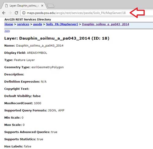
Step 3. Click on the county soils you would like to add to ArcGIS Online (Dauphin_soilmu_a_pa043_2014 (18)). Your browser will contain the URL string to the Dauphin County soils. COPY this URL string
-
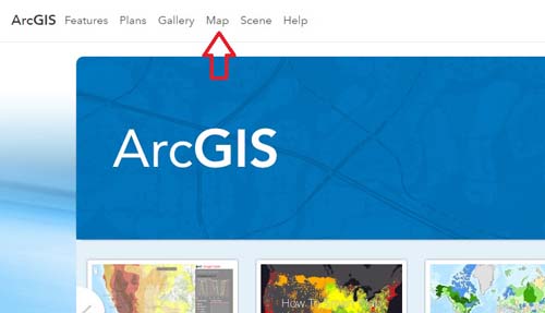
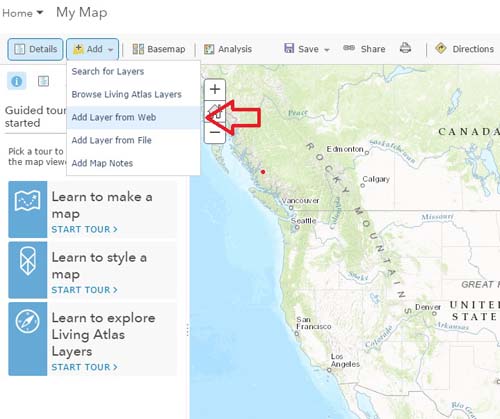
Step 4. Go to the Map Page of your ArcGIS online.
-
Step 5. On the Map page click Add. Then Add Layer from Web.
-
Step 6. Paste the URL String from Step 3.
http://maps.pasda.psu.edu/arcgis/rest/services/pasda/Soils_PA/MapServer/18
Click Add Layer.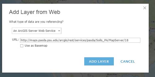
-
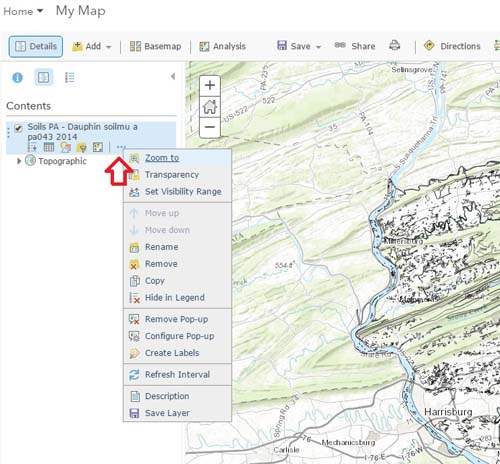
Step 7. You will now see the Dauphin County Soils on your map. For large layers like this AGOL may not display all the features at once.
Zoom into smaller areas to see more of the data.
The ellipsis next to the name of the layer (in the contents menu) allows for some display options.